
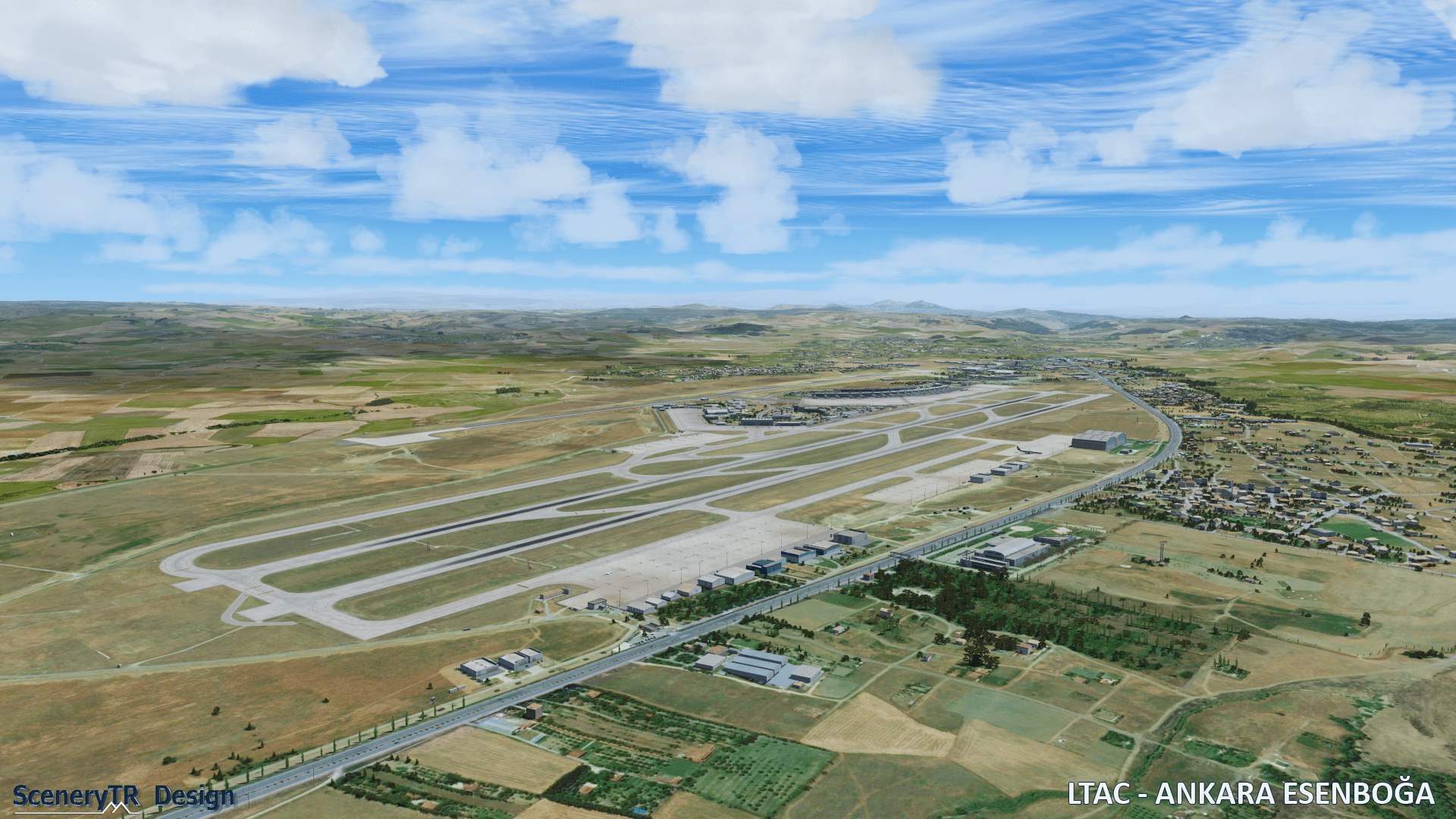
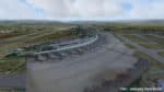
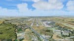
 In Zeiten, in denen Flughäfen gern von verschiedenen Entwicklern parallel entwickelt und released werden, freuen wir uns umso mehr, wenn verbleibende weiße Flecken auf der Simulatorlandkarte geschlossen werden.So etwa im Forum von FSDeveloper: SceneryTR Design zeigt Previews des bisher unterversorgten Flughafen von Ankara. Nach zwei Jahren Arbeit sei der Zeitpunkt gekommen, die Fortschritte der Entwickugnsarbeit der Community zu präsentieren, so User “sunayk”. Die vielen Bilder zeigen bereits ein fortgeschrittenen Entwicklungszustand inklusive saisonaler Texturen. Wann die Szenerie veröffentlich wird ist noch nicht klar, allerdings soviel, dass sie als Payware für FSX und alle Prepar3D-Varianten released werden wird.
Gestern noch als Preview zu sehen, seit heute im Verkauf : Ankara kann ab sofort für 17,85€ im Simmarket erworben werden.
Features :
- Highly detailed virtual replica of the airport and its surroundings
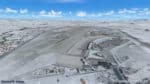
- Custom photoreal scenery ( 50cm/pixel resolution ), with seasonal variations
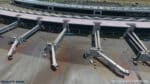
- Photorealistic high resolution textures on airport buildings and vehicles
- Custom high resolution ground textures and detailed markings
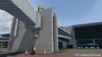
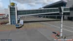
- SODE animated jetways
- 3D Taxiway signs
- Custom airport vehicles and numerous custom static objects and static aircraft
- Volumetric grass
- Hand placed autogen
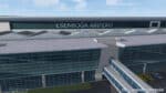
- Custom surrounding buildings
- Various effects, i.e. animated runway guard lights, smoke effects in winter, wet/puddle effects during rain, SODE windsock, animated radars, reflections on windows, bump maps and custom environment map (FSX)
- Ambient occlusion (texture baking) and custom night textures on all buildings
- Dynamic Lights (Prepar3D V4)
- Compatible with ORBX FTX Global and openLC EU
- As a Bonus, Ankara Anıtkabir mausoleum is also included in the scenery


Das ist doch wirklich erfreulich, wenn sich jemand der weißen Flecken auf der Flusi-Landkarte annimmt.