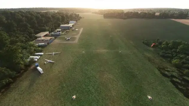
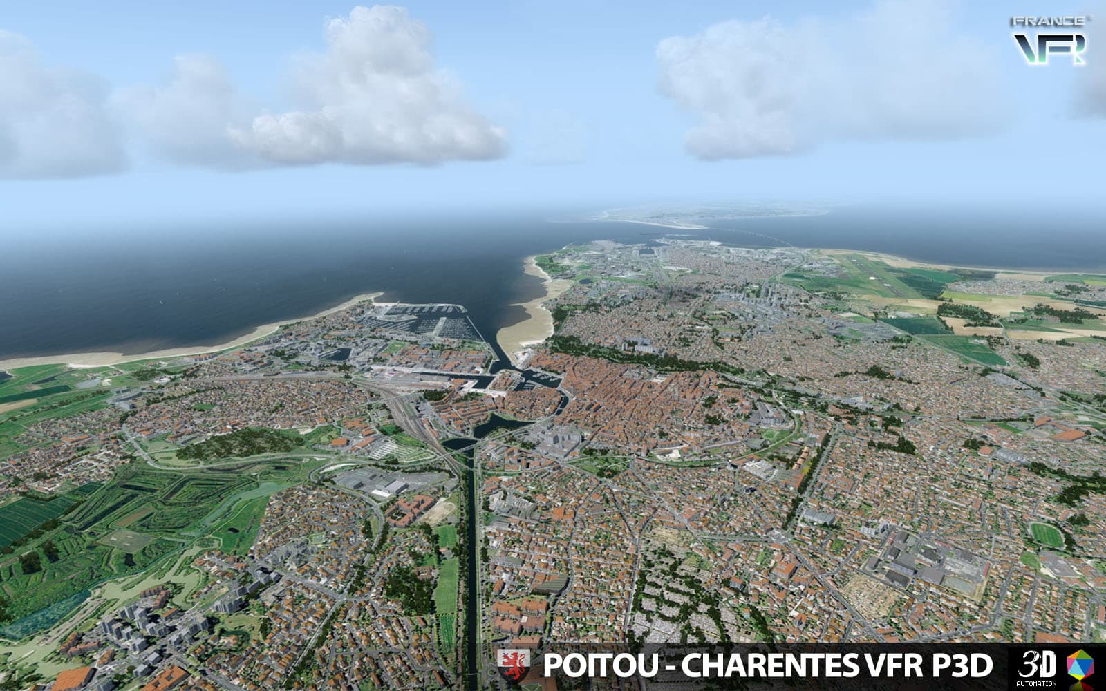
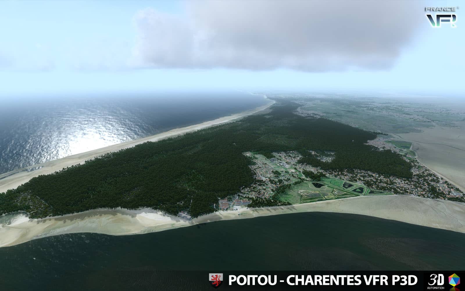
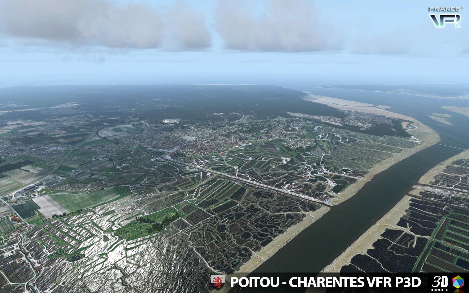
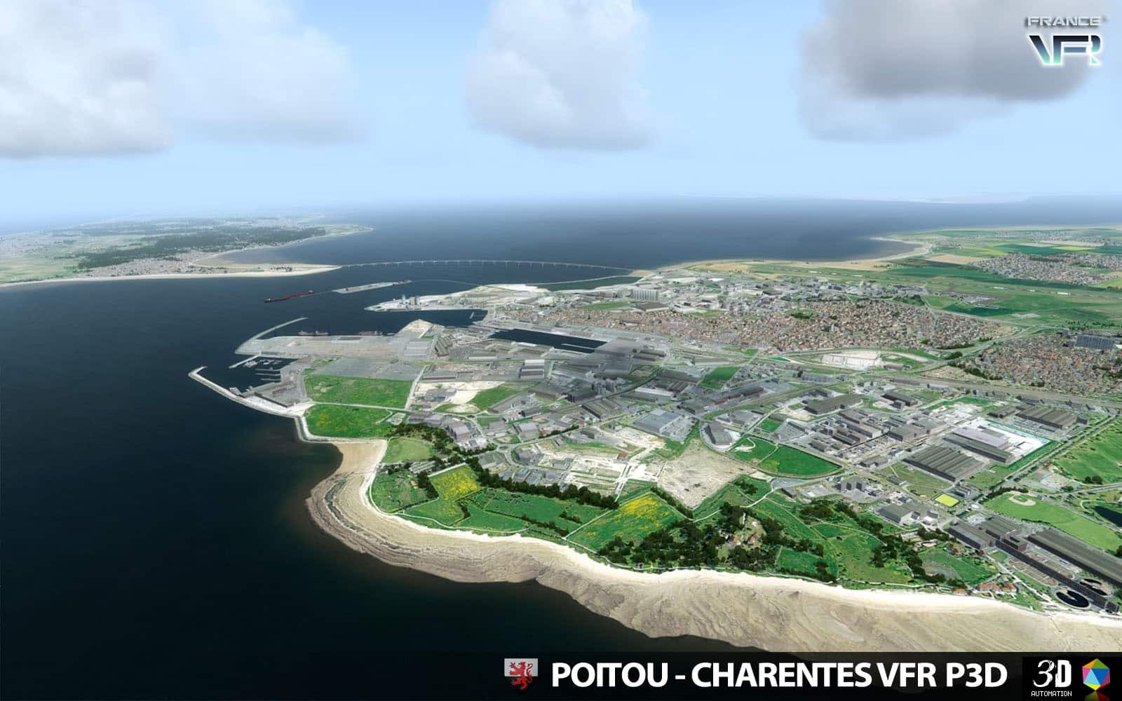
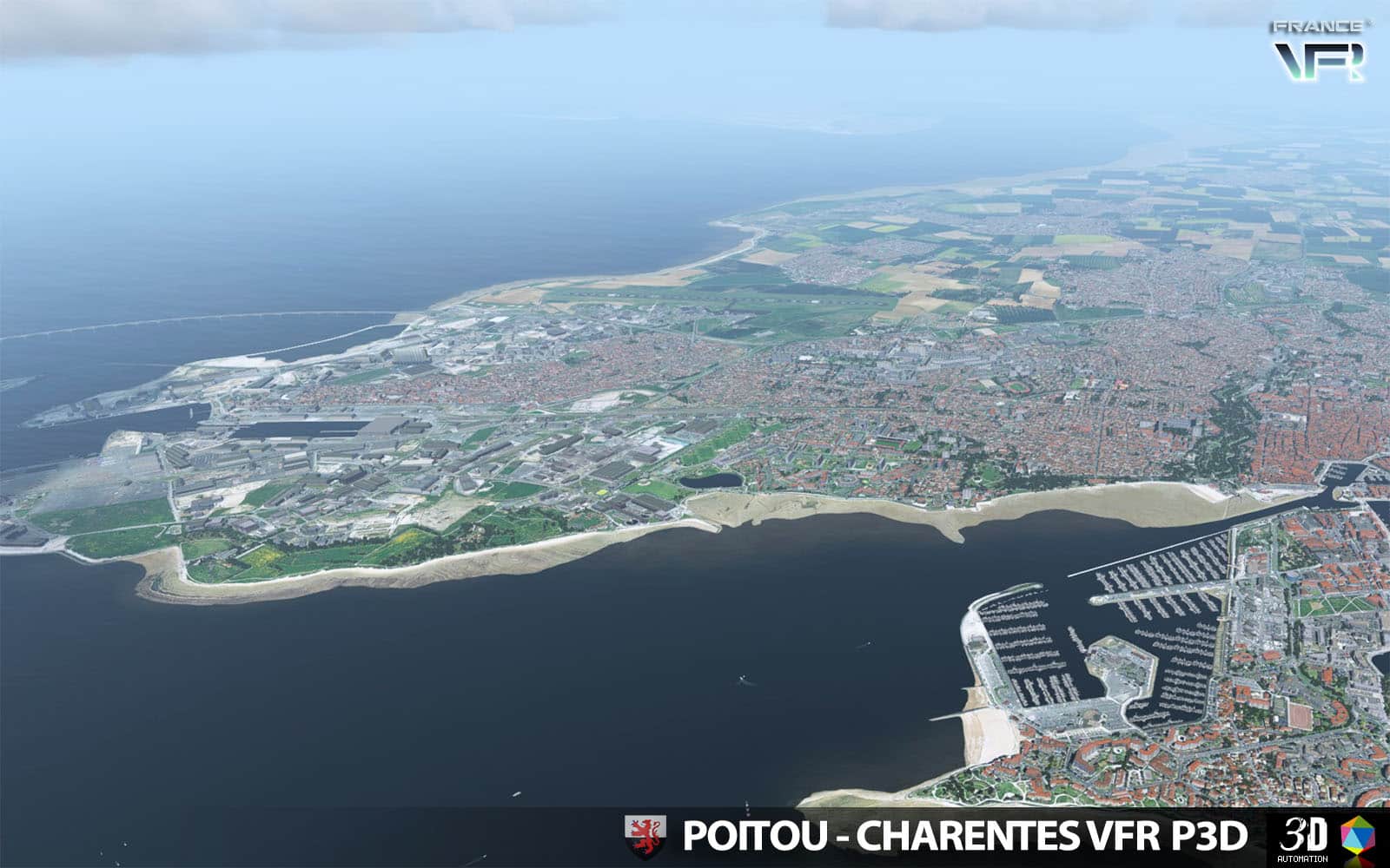
 France VFR hat eine neue schöne fotorealistische (Sommer) Szenerie für die Region Poitou-Charentes für P3D v4/v5 und den FSX veröffenlicht. Hochauflösendes Mesh, viel Autogen und VFR Objekte sowie Landmarks runden das Paket ab. Die “VFR Regional” Produkte nutzen eine eigens entwickelte Technologie namens “3DAutomation® technology” um Objekte auf der Fläche an die korrekte Stelle zu bringen.
Features:
- Ground textures from 0.8 to 1.20 meter / pixel resolution from IGN aerial photography reworked for an optimal visual rendition in Prepar3D® (summer only)
- Dedicated mesh with high definition 4.75 meters (LOD13).
- Lakes and rivers with navigable waters fitting the texture.
- Semi-detailed generic airports including flatten platform correction.
- Obstacles and VFR landmarks modeled on the entire scene including the official SIA database (antennas, towers, water towers, wind turbines, various constructions …).
- Hundreds of thousands of objects and notable buildings integrated into the environment (churches, power plants, silos, castles, industrial tanks, bridges, tolls, cranes, boats, streetlights, road signs …).
- Integration of 3D Automation® technology allowing multi-million buildings and realistic vegetation areas fitting geographic specs.
- Extremely dense and optimized vegetation coverage using a custom rendering module controlled by artificial intelligence (AI).
- Autogen buildings including additional specific and optimized 3D variations.
- Geo-referenced data for maximum compatibility with future add-ons installed on the same area
- Development process 100% Lockheed Martin® SDK specifications compliant, ensuring maximum compatibility with new releases.